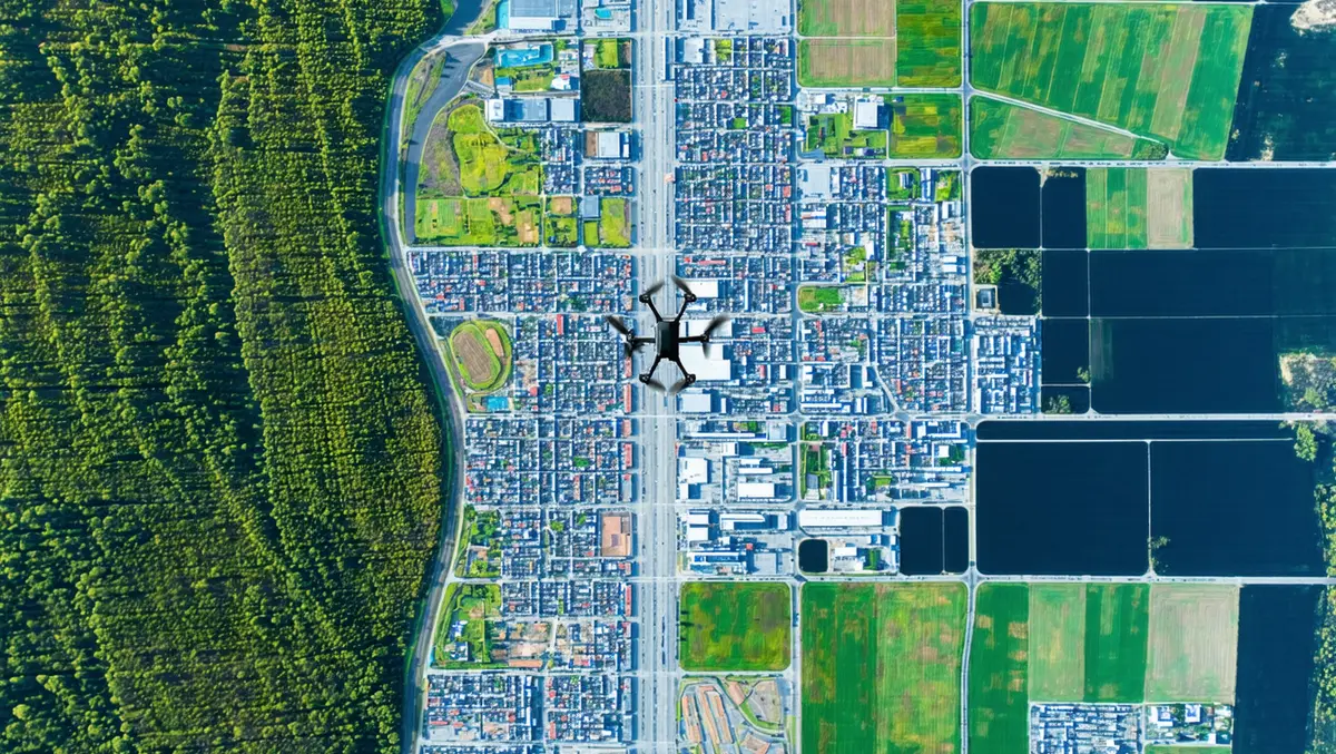
Drone GIS mapping market grows with tech advancements
The global Drone GIS Mapping Market is undergoing significant changes due to technological advancements and the increased use of Geographic Information System (GIS) solutions across various industries.
The market's growth is largely driven by improvements in technology that increase the precision, efficiency, and versatility of drone-based mapping. The research highlights technologies such as LiDAR (Light Detection and Ranging), photogrammetry, radar, thermal imaging, and multispectral imaging as pivotal to this growth. These technologies offer distinct advantages across different mapping applications. For instance, LiDAR is gaining popularity for high-precision mapping due to its capacity to penetrate vegetation and accurately map terrain, while photogrammetry is used for generating detailed 2D and 3D maps.
The report outlines the versatility of mapping types offered by the drone GIS mapping market, including orthomosaics, digital surface models (DSMs), terrain models, contour lines, and 3D models. These mapping types cater to various industry needs, providing data and visual representations that help stakeholders make informed decisions. This demand is anticipated to grow as industries require accurate geographic data for planning and decision-making processes.
The applications driving market expansion are extensive, covering surveying, mapping, construction, agriculture, environmental monitoring, and disaster response. In the construction industry, drones are used for project planning, progress monitoring, and site inspections, thereby reducing inefficiencies. In agriculture, precision farming benefits significantly from drone GIS mapping, allowing for the monitoring of crop health and management of resources.
The report categorises drone platforms into fixed-wing drones, rotary-wing drones, and hybrid drones, each suited to different applications. Fixed-wing drones are efficient for large area surveys, rotary-wing drones are ideal for precision-based tasks in smaller areas, and hybrid drones offer a combination of both capabilities. This variety assures that users can select the most suitable platform for their needs, supporting market growth.
The drone GIS mapping market serves a broad range of end-users, including government bodies, private firms, non-profits, academic institutions, and individuals. Government agencies utilise it for infrastructure planning and disaster response, while private companies in sectors like construction and agriculture enhance their efficiency and reduce costs through this technology.
Regionally, North America leads the market, propelled by early adoption of drone technology and a strong presence of key industry players. The United States is particularly influential, spurred by substantial demand from various sectors. Europe is experiencing growth driven by investments in drone technology, while the Asia Pacific region is expected to see the highest growth due to rapid industrialisation and technological advancements.
Emerging markets like South America, the Middle East, and Africa are also showing increased interest in drone GIS mapping for its applications in environmental monitoring and disaster management. The affordability and accessibility of drone technology in these regions are expected to fuel significant adoption.
The global drone GIS mapping market is set for substantial growth supported by advancements in technology and a rising demand from numerous sectors for better mapping solutions. This growth presents opportunities for stakeholders across industries to innovate and improve operations through improved geospatial data applications.


